
Walk an Auburn Street Record
Begin with the address exactly as it appears on the letter, deed, or family note. Auburn is split between King and Pierce counties, and an Auburn mailing address can fall outside the city. That makes jurisdiction the first fact to prove. The Auburn City Limit Tool reports whether a full street address is inside the municipal boundary. Next, the city and county maps identify the parcel and the office that keeps its property record.
- Enter the full address in the city-limit tool. Save the returned city status, county, ZIP, and the source date.
- Find the address point in Auburn GIS, then copy the parcel number from the correct King or Pierce map.
- Open the county assessor report. Keep the situs, taxpayer, and mailing fields separate.
- Use the parcel or legal description in the recorder or auditor index to follow transfers and other recorded instruments.
- Check permits and dated historical sources only after the current parcel is sound. Corroborate any person-to-address claim in another dated record.
This order guards against a common false result: finding the right street name in the wrong jurisdiction. It also preserves what each record truly says. The street directory can show a documented link among an address, parcel, taxpayer, transfer, or permit. It cannot turn those separate links into proof of present occupancy.
Verify Auburn Street Jurisdiction
Auburn's public mapping service separates Auburn, King County, and Pierce County address grids. It also supplies city limits, county boundaries, annexation history, address points, parcels, neighborhoods, zoning, parks, and project layers. Those distinctions matter near Kent, Federal Way, and the county line. A postal city is a mail label. It is not a legal boundary or a promise that Auburn issued the address.
Use the Auburn public GIS service for the city layer, then check the matching county parcel system. Pierce County says it assigns addresses only in unincorporated Pierce County; an address inside Auburn routes back to the city. If a portal returns no result, test the other county, the unit format, the directional, and the annexation layer before deciding that the address is absent.
Note: Record the postal label and municipal status as separate facts whenever an Auburn street falls near a city or county boundary.
Search Auburn King Parcels
For the King County side, King County Parcel Viewer accepts an address, parcel number, or condominium name. A map click can open the assessor's eReal Property report and a districts and development-conditions report. Line, freehand, and polygon selection tools can also select several lots along one Auburn street. The boundaries guide research, but they are approximate and are not a legal survey.
| Search field | Input | Required | Result or caution |
|---|---|---|---|
| Address | Street number and name | One search route | Matches current property records |
| Parcel | Parcel number | One search route | Best bridge to reports and deeds |
| Condo name | Recorded name | One search route | Useful when unit addressing varies |
| Map selection | Click, line, or polygon | No | Finds nearby parcels; map lines are approximate |
The assessor report may show the site address, legal description, lot area, building facts, assessed values, sales history, and a taxpayer name. Owner-name searching was not verified on the public eReal interface, so the reliable Auburn route is address or parcel first. A taxpayer field records an assessment relationship, not a resident roster.
The linked King County eReal interface shows how the assessor route works.
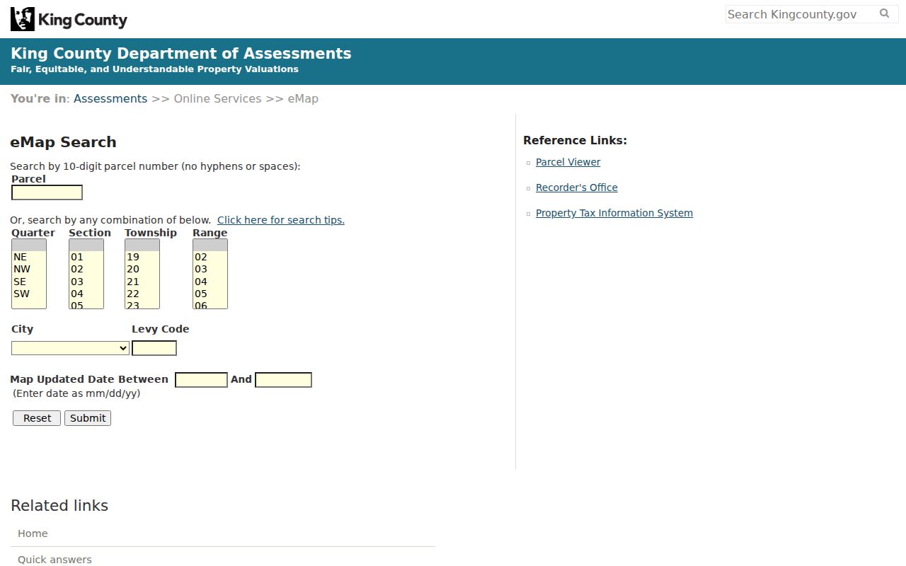
The captured interface reinforces the page's key method: search a current address or parcel, then read the report without treating a taxpayer name as proof of who lives there.
Search Auburn Pierce Streets
The Pierce County path starts with Pierce PublicGIS. It searches by site address, intersection, parcel number, or place of interest. Intersection searches use an ampersand between the roads. A map click and the About My Property links can reveal the parcel needed for the Pierce Assessor-Treasurer and Auditor systems.
Assessment and sales files are informational. Pierce also publishes weekly pipe-delimited property data, but a bulk file is not a list of Auburn residents. Keep the property-location address apart from the taxpayer's mailing address. The county correction form makes that split explicit and requests supporting recorded documents when a name or address must be changed.
Auburn Records Indexed by Address
No single Auburn street directory contains every relevant fact. The city, two counties, State Library, and archives each keep a distinct part of the trail. The parcel number is the safest join between the modern map, assessor report, recorded instrument, and many permit results. A street name is more useful in a historical directory or map, where parcel IDs may not appear.
| Address source | Custodian | Evidence supplied | Access path |
|---|---|---|---|
| City address and boundary layers | City of Auburn GIS | Address point, parcel context, neighborhood, city status | Free web service and city-limit tool |
| Property report | King or Pierce assessor | Situs, taxpayer, legal and sales facts | Online search; county help if no match |
| Recorded instruments | King Recorder or Pierce Auditor | Grantor, grantee, transfer, lien, easement, plat | Online index; paid or restricted copies; archive fallback |
| Permit record | Auburn and MyBuildingPermit | Project address, parcel, dates, status and participants | Online search; permit-center contact |
| Historical directory and map | State Library, museum, LOC | Dated name, street, building and block clues | On-site, appointment, catalog, or digital collection |
A public voter extract can contain selected residential fields, but Washington law withholds full birth dates and other protected data. Address Confidentiality Program participants and Protected Records Voters may not appear in ordinary address-facing results. VoteWA is designed for a voter to manage and inspect their own registration, not for publishing a house-by-house roll.
Read Auburn Address Fields
Small differences in address fields can change the result. Preserve the source string before normalizing it. Keep NE, SE, unit numbers, fractions, suffixes, and the returned postal city. Then record a second, readable version. That gives another researcher a way to repeat the query if a portal accepts only one format.
- Parcel
- A county account tied to a mapped piece of land. A parcel may split or merge over time.
- Situs address
- The location of the property itself, which can differ from the taxpayer's mailing address.
- Plat
- A recorded map that lays out lots, roads, and other divisions of land.
- Criss-cross directory
- A directory arranged by street or address instead of only by a person's surname.
A legal description is another land identifier written in a deed or plat. When a street name fails in a recorder search, the parcel prefix, legal description, grantor or grantee name, and date range may still find the instrument.
Follow Auburn Deeds by Parcel
King County's Landmark Web searches names, document type or number, book and page, parcel ID, recording date, recording number, legal description, consideration, and Torrens number. A grantor gives or conveys an interest; a grantee receives it. Search results organize the chain by those parties, the record date, document type, parcel or legal text, and an image link.
Most King images recorded on or after August 1, 1991 are online. Basic index data reaches 1976, while the 1852 through 1975 grantor and grantee indexes are mainly on microfilm at King County Archives. Online images are watermarked and unofficial. Certified or uncertified copies can require an account, purchase, mail, phone, or in-person request. The street directory therefore needs an archive fallback, not just a portal link.
On the Pierce side, the Auditor's recorded-document guidance dates its online index and images to 1984. Some images are restricted and require a written request and payment. If the web index fails, contact the Pierce County Auditor rather than substituting a King record for a Pierce parcel.
Note: A deed chain records interests in land; estates, trusts, liens, easements, and parcel changes can interrupt a simple buyer-to-seller sequence.
Auburn Permits Along a Street
MyBuildingPermit can search Auburn permits by jurisdiction, permit number, project name or description, permit type and status, street number and name, parcel, contractor company or license, applicant surname, and date range. A result may supply the project address, parcel, application and permit numbers, status, dates, description, related permits, reviews, fees, and participants.
The permit record describes work at a place. An applicant or contractor may not own or occupy it. Auburn's Issued Permits Snapshot described 2024 data and a February 2025 update, but the inspected visualization was unavailable. Use the live permit search and the Auburn Permit Center as the fallback, and save the access date when a changing project record matters.
The live permit-search screen shows the address-centered route.
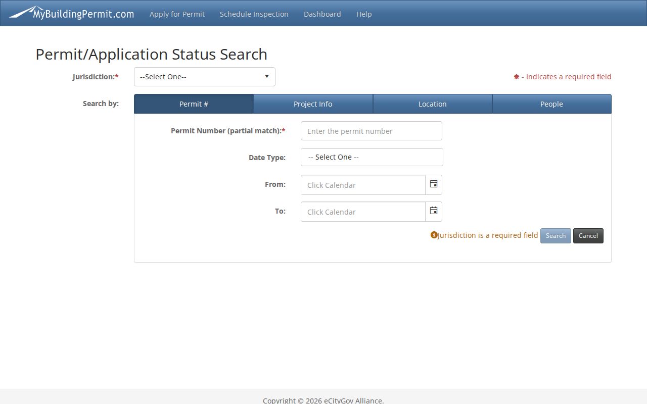
Its filters can connect a parcel to public project activity, while the record's role labels prevent a contractor or applicant from being mislabeled as a resident.
Auburn Streets Before Auburn
Auburn incorporated as Slaughter in 1891 and took the Auburn name in 1893. Search both names in old newspapers, deeds, cemetery notes, directories, and maps. Add Washington, King County, or Pierce County to a web query so Auburn, New York records do not slip into the trail. A downtown street may also appear as Main Street or Auburn Avenue in dated local material.
The Library of Congress 1910 Sanborn set is cataloged as “Auburn [see also Slaughter], King County, Washington” and contains five sheets. It records blocks, buildings, streets, and uses from that date. Compare it with current GIS to understand a historic address, never to identify a current occupant. No additional Auburn Sanborn years or a citywide street-renumbering date were found in the official sources.
Annexation adds another time layer. Lakeland Hills South changed in stages from 1998 through 2005, and much of West Hill and Lea Hill joined Auburn in 2008. A past directory can correctly place a parcel outside Auburn even when today's map places it inside.
Auburn Street ZIP Changes
A house can keep its physical site while its delivery label changes. King County recorded two clear examples on June 24, 2024: the 19000 block of SE 320th Street moved from Auburn 98092 to Kent 98042, and 3205 C Street NE moved from Auburn 98001 to Auburn 98002. These are specific edits, not proof of a citywide renumbering project.
For an older street directory hit, keep the historic ZIP and postal city as printed. Verify today's delivery form with USPS, then check Auburn's boundary and county parcel separately. This avoids rewriting an old source with a modern postal value and makes the date of each address explicit.
Limits of Auburn Street Records
A parcel search does not establish every person at an address. It cannot reveal an unlisted household member, utility subscriber, delivery recipient, private association participant, or the precise address of a protected voter. A trust, estate, business, or owner with a different mailing address may appear instead. Public permit and land-use notices identify a project or parcel, not necessarily a resident.
Historical criss-cross volumes may help with past households, but the official State Library source does not identify a separate Auburn reverse-directory run. The Auburn city directory collections explain the verified years and on-site access. Do not fill that gap with an unsourced volume or a commercial listing.
Lawful use. Use Auburn address records only for lawful personal research. Never use a street search to stalk, harass, threaten, or expose a protected person.
A careful Auburn street directory result ends with source, date, county, and record type. It labels a map value as approximate, an index as an index, and a historical entry as dated. Sometimes no person-level answer is the correct result, especially when Washington's Address Confidentiality Program is working as intended.