
Auburn Neighbors in Public Records
Official sources describe the land, public transactions, projects, and civic groups around an Auburn address. They do not create a complete household list. Start by locating the searched parcel and every parcel touching or facing it. Then inspect each public record on its own terms. A taxpayer name can be an ownership lead, a permit names a project participant, and a neighborhood polygon supplies an area label. None alone proves who sleeps at the address.
| Auburn block source | What it can establish | How to reach it |
|---|---|---|
| Auburn GIS Public and Supporting layers | Address points, parcels, neighborhood names, city and county grids | Free public map services |
| King Parcel Viewer | Selected nearby parcels and links to assessor reports | Address, parcel, condo, map click, or shape selection |
| Pierce PublicGIS | Neighboring parcels and About My Property leads | Address, intersection, parcel, place, or map click |
| County assessor | Taxpayer, situs, mailing, legal, building, and value facts | Public report after parcel identification |
| Recorder, permits, and notices | Named parties, plats, easements, projects, and public proceedings | County recorder, MyBuildingPermit, and city records |
| Neighborhood and safety programs | Public area, association, or program scope | City and association public pages, not private rosters |
Choose the county from the parcel location. Auburn lies in King and Pierce counties, and an Auburn postal address may be outside city limits. The Auburn City Limit Tool and city boundary layers settle the municipal question. The county parcel viewer settles which assessor and recorder to use. This first check prevents records for a nearby but different jurisdiction from being assigned to the searched block.
Auburn Neighbor Map Fields
City and county GIS systems use several lookup routes. Auburn's public service includes Addresses, Neighborhood Areas, Parcels, Land Use, Zoning, Parks, and boundary layers. Its supporting service separates Auburn, King County, and Pierce County address grids and carries annexation history. Those layers show how records relate in space, but parcel boundaries are approximate and are not a legal survey.
| Map | Search fields or controls | Useful output |
|---|---|---|
| King Parcel Viewer | Parcel number, address, condo name, map click, line, freehand, polygon | Selected parcel IDs, export, assessor and district reports |
| Pierce PublicGIS | Site address, intersection, parcel number, place of interest, pan and click | Parcel and About My Property links |
| Auburn GIS | Layer, query, and address controls | Addresses, parcels, neighborhoods, zoning, boundaries, and source fields |
The King viewer screenshot comes from the official King County Parcel Viewer.
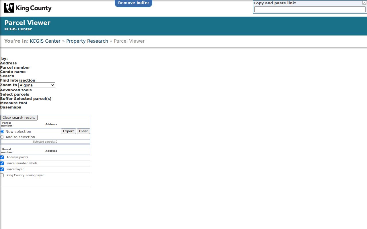
Use the map to capture parcel numbers first. Open each parcel report separately, because a label shown at one zoom level may not include all public property fields.
Map the Auburn Block Outward
The most defensible result is structural: which parcels touch, face, or sit near the searched parcel. Start with one verified address, freeze the map date, and expand by one parcel at a time. Keep the parcel account, situs address, mailing address, legal description, county, and source date distinct. The situs is the property's physical location. The mailing field is where tax mail goes and may point elsewhere.
- Enter the exact address in Auburn GIS and verify the city boundary, county, parcel, and named neighborhood layer.
- Open King Parcel Viewer or Pierce PublicGIS. Select the searched parcel and the lots that touch or face it.
- Record every adjacent parcel ID. Retrieve each assessor report for taxpayer, situs, mailing, legal, building, and sales facts.
- Check recorder filings, permits, land-use notices, and plats only when they answer a clear block question.
- Write the result as parcel and source facts. Do not turn a taxpayer name into an unverified occupant or household.
King's selection tools can draw a line, freehand line, polygon, or freehand polygon across several lots and export selected data. Pierce supports map navigation and parcel clicks. For a full road rather than the immediate block, use the Auburn street directory workflow. It follows the address chain along a named street while this method stays close to one home.
Auburn Neighborhood Areas
Auburn GIS identifies Downtown, Lakeland/Lakeland Hills, Lea Hill, North Auburn, Plateau, SE Auburn, South Auburn, and West Hill. The layer also carries status, source, notes, creation or edit fields, and geometry. Preserve that status. An existing, proposed, or retired GIS area is not automatically an HOA boundary, subdivision, or household list.
Annexation makes the date important. Lakeland Hills South annexations occurred from 1998 through 2005, and much of West Hill and Lea Hill joined Auburn in 2008. An older record may use a rural, county, or nearby city label for the same land. ZIP changes and parcel splits can alter other identifiers without moving the building. Save the map vintage and compare the historic description before joining old and new block records.
Auburn Neighborhood Group Contacts
Public group pages explain how part of Auburn organizes, but they do not publish a reliable household roster. Lakeland Hills HOA covers Divisions 1, 2, and 4A. Lakeland Hills Estates describes a 66-home association. Willow Park HOA serves a Lea Hill community. Each may offer public documents, purpose statements, links, or volunteer information. None of the inspected sources exposed a public member directory.
Lakeland Hills HOA
Public association source for Divisions 1, 2, and 4A in the Auburn 98092 context. Confirm subdivision scope on its current public page.
Lakeland Hills Estates
A distinct 66-home association. Do not merge its identity with the broader GIS neighborhood or Lakeland Hills HOA.
Willow Park HOA
A public community lead on Lea Hill. Use its published group information, not private resident details.
Auburn Neighborhood Programs
City route for resident meetings, matching grants, Civics Academy, SpeakUp Auburn, and other civic participation.
The official Auburn Neighborhood Programs page is the public starting point for city-backed meetings, grants, and civic channels.
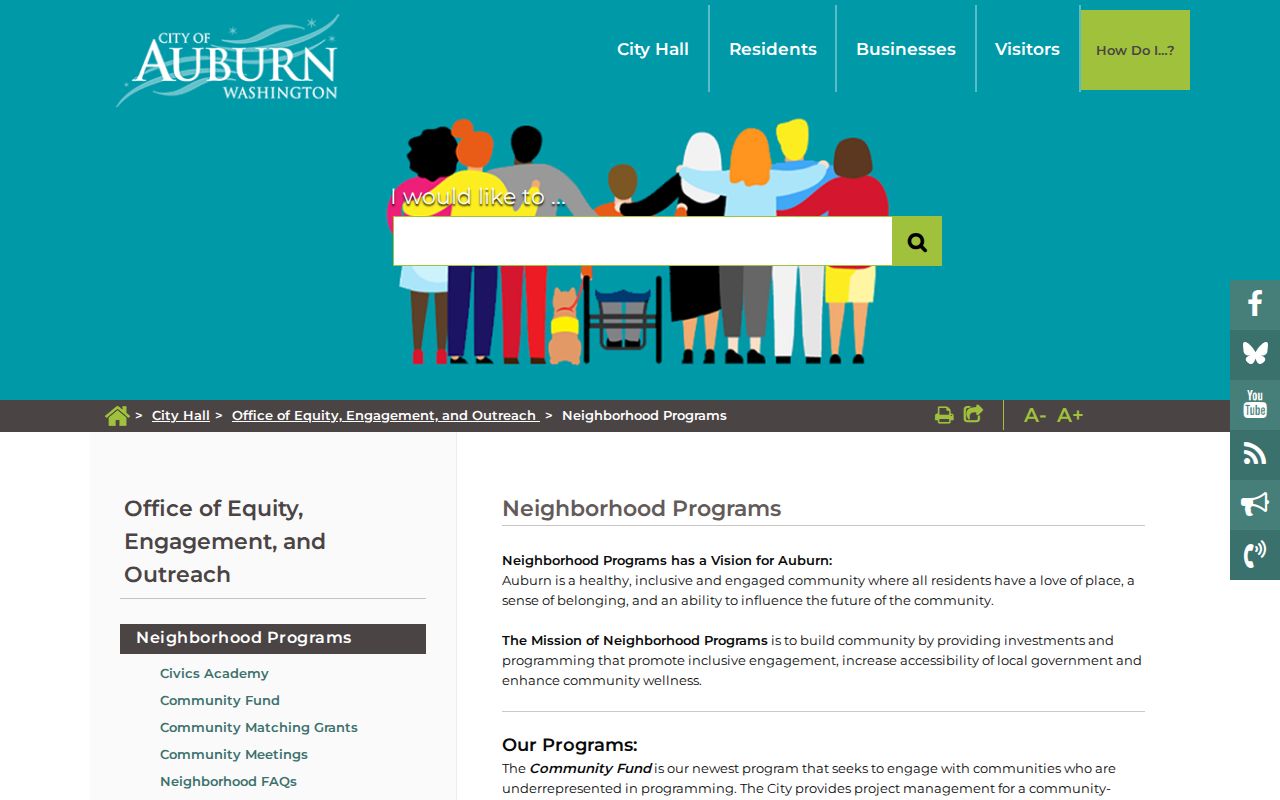
This city page provides program-level contact and participation details. It does not turn a civic group into a public household directory.
Association, city-neighborhood, subdivision, postal, and city-limit boundaries can overlap without matching. Name the exact source and scale when describing an Auburn community. A group contact may answer questions about public events or documents, but it should never be pressed for a private directory.
Auburn Block Watch Boundaries
Auburn Block Watch has a deliberately small scale. A group selects an 8-, 15-, or 30-home boundary, names a captain and co-captain, holds two meetings, and submits a map and names to the police program. Quarterly meetings may follow, and signs may be available. City program information lists Officer Aaron Williams at 253-288-3147.
The roster is private. The public program can establish that Block Watch exists and explain how a group forms, but it cannot serve as a neighbor list. For a safety concern, use the police, emergency services, or the public program contact instead of publishing names or contact details. This boundary is one of Auburn's clearest examples of useful community geography with protected people data.
Auburn Neighbor Privacy Limits
Public property records do not list every renter, child, relative, guest, or other household member. Utility accounts, delivery data, private association rosters, and Block Watch submissions are not block-directory sources. Washington's Address Confidentiality Program can also shield an eligible participant's actual address. Protected Records Voters keep their name, residence, county, and precinct out of ordinary public voter records. A missing result may be the correct privacy outcome.
Voter records have specific limits. Public fields may include a name, registration status, address, birth year, registration date, gender, precinct or jurisdiction, and voting history. Washington does not record party preference. Full birth date, driver's-license number, Social Security number fragments, registration-source identity, and protected records are excluded. A registration address still does not prove current ownership, full household membership, or continuous occupancy.
Lawful use. Research an Auburn block for civic connection or personal safety, never to watch, harass, intimidate, or expose another person.
Auburn Block Permits and Notices
After mapping the parcels, check nearby projects through MyBuildingPermit and Auburn's public records. The permit search supports jurisdiction, permit number, project, location, people, permit type or status, and date fields. A result may show application or permit number, parcel, address, dates, description, related permits, reviews, activities, fees, and applicant or contractor fields. That is evidence of a project, not proof that a named participant lives there.
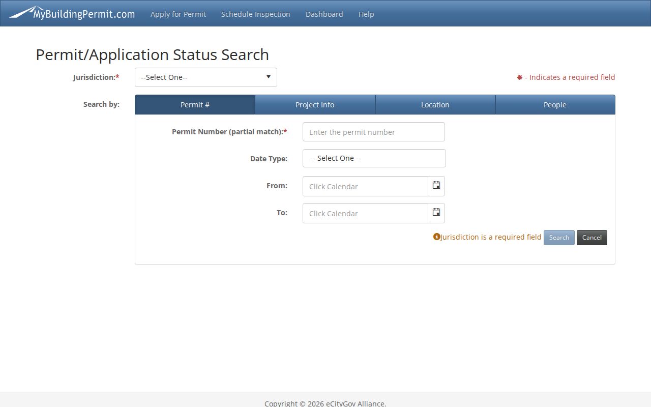
The portal view helps tie a public project to a parcel and date. Land-use notices and Auburn records requests can fill gaps. A request should identify the department, address or parcel, record type, and date range. Under Washington's Public Records Act, an agency generally provides an initial response within five business days, though production time and copy charges depend on the record.
Official Auburn Neighbor Sources
Official records and commercial neighbor tools answer different questions. Source visibility matters most. A county or city record identifies its custodian, date, and legal purpose. A commercial result may combine older material without showing when an address link changed. Use the official record for a parcel, transfer, permit, or public boundary, and confirm any important fact with the custodian.
| Source type | Strong use | Key limit |
|---|---|---|
| City and county GIS | Block shape, parcel selection, jurisdiction, neighborhood layer | Approximate geometry; no household roster |
| Assessor and recorder | Taxpayer relationship, legal description, transfers, plats | Ownership and filing parties are not the same as occupants |
| Permits and notices | Public projects and civic proceedings near a parcel | Named applicants or firms may live elsewhere |
| Commercial category | Possible lead when the original source is unclear | May be stale, merged, incomplete, or hard to date |
The final block record should state only what the source supports: parcels touch, a public layer assigns an area name, an association serves a subdivision, or a project was noticed at a parcel. It should not leap from those facts to a claim about every person next door.